
Access Guide
Introduction
- The distance from Edinburgh Waverley Station to the Old College is approximately 920m. The distance from Edinburgh Waverley Station to Potterrow is approximately 1070m. The distance from Edinburgh Waverley Station to George Square is approximately 1260m. Surfaces that need to be overcome include block paving, tarmac, concrete and tactile paving. There are east and moderate slope to reach Old College. There is a steep slope along the way to reach Potterrow and George Square.
- Related link Old College.
- Http://www.disabledgo.com/access-guide/the-university-of-edinburgh/old-college
- Related link Potterrow.
- Http://www.disabledgo.com/access-guide/the-university-of-edinburgh/potterow
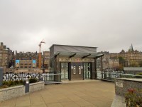
Exit Station Lifts and Head to Princess Street
- On exiting the lifts turn right and head along the block paved path to Princess Street.
- There are bollards at the end of the street with a width of 120cm. These can be seen in photograph 4.
Princess Street to North Bridge
- Turn Right onto Princess Street for 64m until you reach North Bridge.
- The surface of the pavement is block paving with the occasional manhole cover.
- There is a slight gradient heading towards Princess Street. There is a slight uphill gradient.
North Bridge to The Royal Mile
- Turn right for 340m up North Bridge and continue until you reach the Royal Mile.
- At the time of the time of survey the near side of the bridge was out of service meaning that you need to cross to the far side of the bridge.
- The crossing has tactile drop kerbs on either side a central island and pedestrian traffic lights. (photographs 1 and 2).
- After crossing the road turn right and head across North Bridge.
- Pedestrian traffic along the bridge is likely to be very heavy.
- There is a gradient towards the road and uphill.
- The uphill gradient becomes more pronounced once you reach North Bridge itself though it does not become greater than an easy slope.
- As you approach the Royal mile cross the road using the pedestrian traffic lights photographs 12, 13, 14 and 15.
- The crossing has drop kerbs on either side with pedestrian controlled traffic lights.
Cross The Royal Mile
- There is a pedestrian crossing with traffic light over the royal mile.
- It has tactile drop kerbs on either side.
- The road is cobbled.
- The controls for the lights are at a height of 125cm.
South Bridge to Hunter Square
- Turn left for 6m from The Royal Mile crossing to South Bridge. There is a slight downhill slope as you do this.
- This part of the route can be seen in photograph 1.
- Then turn right and head down South Bridge for 40m until you reach Hunter Square.
- Turn right onto South Bridge.
- The surface of the pavement is block paving with the occasional manhole cover.
- Immediately upon reaching South Bridge there is a drop kerb across it.
- The pavement here is narrow at only 105cm in width (as shown in photograph 2).
- Continue to the pedestrian crossing across Hunter Square.
- There is a slight downhill gradient along this part of South Bridge.
Cross Hunter Square
- There are tactile drop kerbs either side of Hunter Square.
- The tactile paving is striped as opposed to blistered.
- The surface of the road is cobbled.
South Bridge to Chambers Street
- Continue along South Bridge to Chambers Street. The distance is 180m.
- There is a slight downhill gradient and a slight gradient to the road.
- There is a tactile drop kerb at a pedestrian crossing that must be overcome. This can be seen in photograph 2.
- The surface of the pavement is block paving with the occasional manhole cover.
- There is another pedestrian crossing with a tactile drop kerb as you approach Chambers Street. This can be seen to the left of photograph 5.
Cross Chambers Street
- There are traffic lights at the pedestrian crossing.
- There are tactile drop kerbs either side of the road and a level island in the middle.
- The surface of the island is blistered tactile block paving.
- There is a slight uphill gradient to road.
South Bridge to South College Street
- Continue up South Bridge to reach South College Street. The distance is 82m.
- There is a slight uphill gradient up the block paved pavement.
- There is a section of tactile pavement after 16m for a pedestrian crossing across South Bridge.
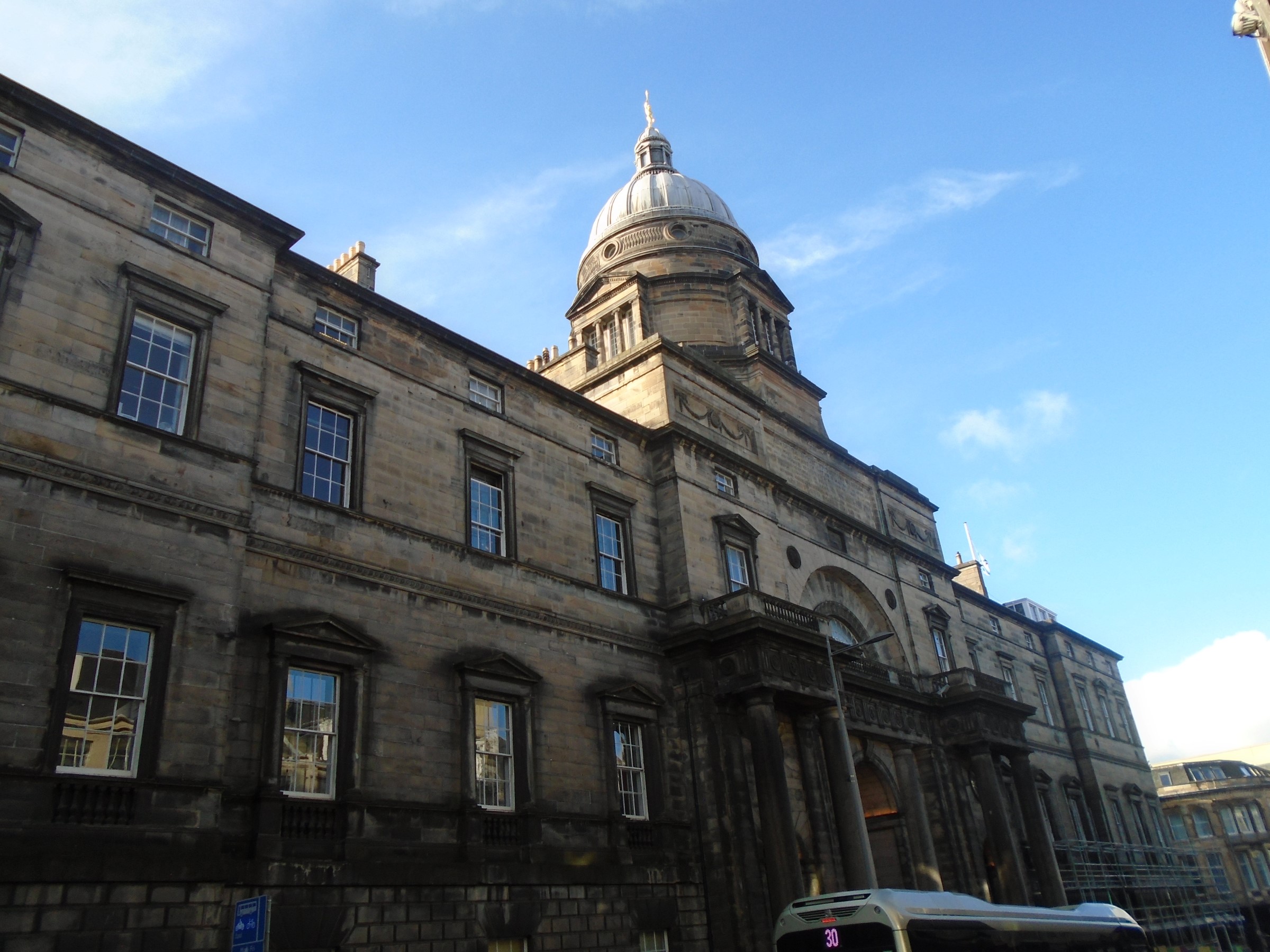
- There is a service road into Old College which leads to three of its entrances via either ramps and slopes including a steep slope or a steep slope and steps.
- The surface of the road is cobbled.
- There is a 4cm incline on the other side of the surface road to get back on the pavement.
- Then continue on till South College Street.
South College Street to West College Street
- Turn right ignoring the tactile drop kerb across South College Street to West College Street. The distance is approximately 120m.
- Head up South College Street. There is a gradient going up.
- The surface of the pavement is block pavement.
- At the end of South College Street is a tactile drop kerb to cross West College Street. The surface of the street is cobbled and there is a drop kerb on the other side.
Old College Accessible Entrance
- To access the accessible entrance on reaching West College Street turn right rather then crossing over the road as you would if you wished to reach Potterrow and George Square.
- There is no pavement to reach the entrance so you will have to cross over the cobbled road.
- There is a slight downhill gradient.
- This road is not particularly busy.
West College Street to Potterrow Port
- Turn left on West College street for 26m and head under Potterrow Port.
- The surface of the road to reach the Potterrow Port tunnel is a mixture of block paving, tarmac and cobbled surfaces with the occasional manhole cover.
- There is a slight uphill gradient located here.
- The surface of the Potterrow Port is block paving.
- There is an easy downhill gradient along the Potterrow Port.
Potterrow Port to Bristo Place
- Turn right and head up the ramp to Bristo Place
- The surface of the ramp is block paving.
- There is a handrail in the centre of the ramp.
- The width of the ramp is 110cm.
- The ramp is steep.
- Photograph 2 shows the view at the top of the slope.
Bristo Place/Charles Street to George Square
- Head through Bristo Place past Potterrow and then along Charles Street to reach George Square. This distance is approximately 200m.
- Potterrow is located to your left at the top of the ramp exiting Potterrow Port. The distance to reach the nearest entrance is approximately 10m. This can be seen in photograph 1.
- The surface of Bristo Place is block pavement with the occasional section of brick block paving as shown in photograph 2.
- There is a slight uphill gradient towards Bristo Place until you pass the Potter Shop when this becomes a slight downhill gradient.
- The surface of Bristo Place is primarily block paving.
- After approximately 80m of travelling down Bristo Place it becomes Charles Street.
- After that, the pavement is block paving with the occasional manhole cover and drain.
- As you continue on, stay close to the buildings on your left to avoid any potential traffic, heading down Charles Street.
- There is a bin in the front of the Edinburgh University Visitor Centre. The width of the pavement to the left is 110cm and to the right it's 90cm. This can be seen in photograph 4.